Expert Land Surveying Services for Your Next Project
At V-Trims Designs, we understand the critical role that accurate land surveying plays in the success of construction, real estate, and development projects. Our land surveying services are tailored to provide precise measurements and mapping to ensure your projects start on a solid foundation. With our expertise and cutting-edge tools, we deliver reliable solutions that meet your unique requirements.
Using the Latest Technology in Land Surveying
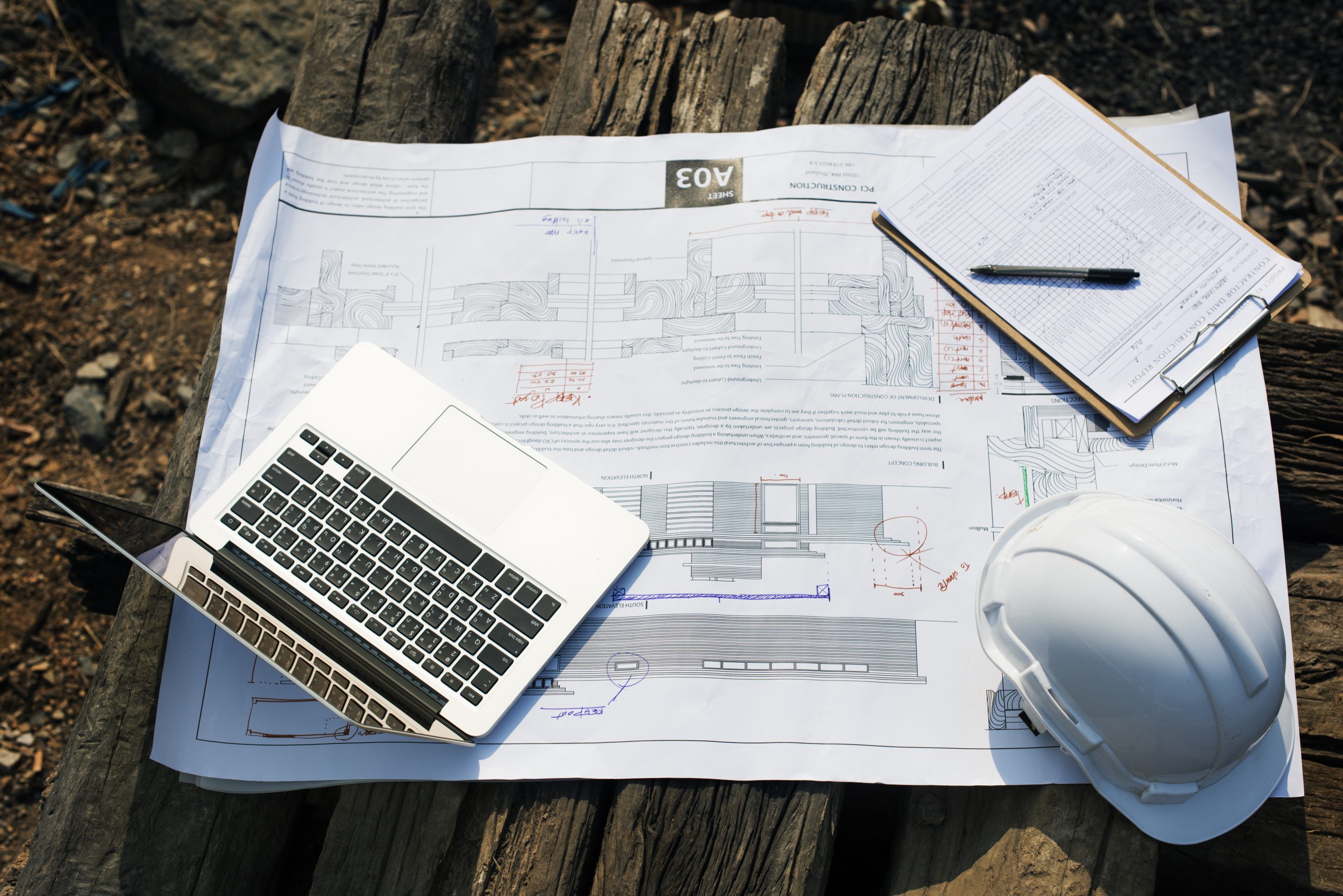
V-Trims Designs leverages the latest advancements in digital surveying tools and technology to deliver unparalleled accuracy and efficiency. Our team utilizes CAD and database software for seamless data processing and mapping, ensuring that every detail is captured and represented with precision. By integrating modern technology, we reduce errors, save time, and enhance project outcomes.
Scope of Land Survey Services
Cutting-Edge Surveying Equipment
We use the latest tools, such as total stations, GPS systems, and laser scanners, to ensure accurate data collection and precise measurements for every project.
3D Laser Scanning Technology
Our advanced 3D laser scanning capabilities enable us to create high-resolution, detailed models of terrains and structures, providing an accurate visual representation for better project planning.
Drones for Aerial Surveys
Incorporating drones into our surveying processes allows us to capture high-resolution aerial imagery, cover large areas efficiently, and deliver topographic data quickly.
Modern Software for Data Analysis
We utilize state-of-the-art software for processing and analyzing survey data, creating detailed maps, and generating insightful reports to support informed decision-making.
Real-Time Data Collection and Integration
Our use of real-time kinematic (RTK) GPS and integrated systems ensures data is captured and processed on-site, minimizing delays and providing instant insights.
Precision and Innovation in Every Step
By combining traditional surveying methods with modern innovations, we guarantee results that meet the highest standards of quality and accuracy, tailored to your project requirements.
Our Streamlined Approach to Expert Land Surveying
V-Trims Designs, a land surveyor in Lucknow, follows a streamlined process to deliver high-quality land surveying services:
1. Personalized Initial Consultation
We begin by discussing your project’s unique requirements, objectives, and potential challenges. Our team works closely with you to understand your needs, ensuring the survey is tailored to meet your specific goals.
2. Accurate On-Field Data Collection
Our experts use state-of-the-art equipment, including total stations, drones, and GPS systems, to gather precise data from your site. This step ensures we capture all necessary details to deliver accurate results.
3. Detailed Data Processing and Mapping
After data collection, we process the information using advanced CAD and database software. This allows us to create detailed maps, layouts, and 3D models that provide a clear understanding of the surveyed area.
4. Clear and Comprehensive Reporting
Finally, we compile the processed data into well-structured, easy-to-read reports. These reports are customized to meet your project’s specific needs, providing actionable insights and aiding in smooth planning and decision-making.
This method ensures that every stage of our land surveying process is efficient, accurate, and tailored to deliver exceptional results for your project.
Our Process
At V-Trims Designs, we follow a step-by-step approach to make RERA compliance simple and stress-free:
Consultation:
We start by discussing your specific needs and understanding your project details. Whether you’re a builder, agent, or developer, we take the time to explain the RERA requirements relevant to your work.
Review:
Our team carefully analyzes your project’s details, including timelines, approvals, and current documentation. This helps us identify any gaps or areas that need attention to meet RERA regulations.
Documentation:
We assist you in preparing all the necessary documents, such as agreements, approvals, and certifications, ensuring they are accurate and complete. Our team also handles the submission process, saving you time and effort.
Registration:
Once the paperwork is ready, we guide you through the RERA registration process. This includes applying for project, builder, or agent registrations and obtaining the required certifications to proceed smoothly.
Ongoing Support:
Compliance doesn’t end with registration. We provide regular updates on RERA policies and help monitor your projects to ensure ongoing adherence. If issues arise, we’re here to address them quickly and efficiently.
With this structured approach, we make RERA compliance straightforward and manageable, giving you peace of mind to focus on your business goals.
Industries Served
Our land surveying services cater to a wide range of industries, including:
- Real estate developers.
- Architects and urban planners.
- Construction companies.
- Government and municipal agencies.
Our Recent Projects


Frequently Asked Questions
How long does a typical land survey take?
The duration depends on the size and complexity of the property. Most surveys are completed within a few days to a week.
Why is land surveying important for construction projects?
Accurate surveys ensure proper planning, avoid boundary disputes, and provide essential data for design and construction.
What equipment do you use?
We use advanced digital tools, GPS systems, and CAD software to ensure accuracy and efficiency.


